


Recycled materials from Stapleton’s runways are gradually being removed from the area north of 56th Ave.
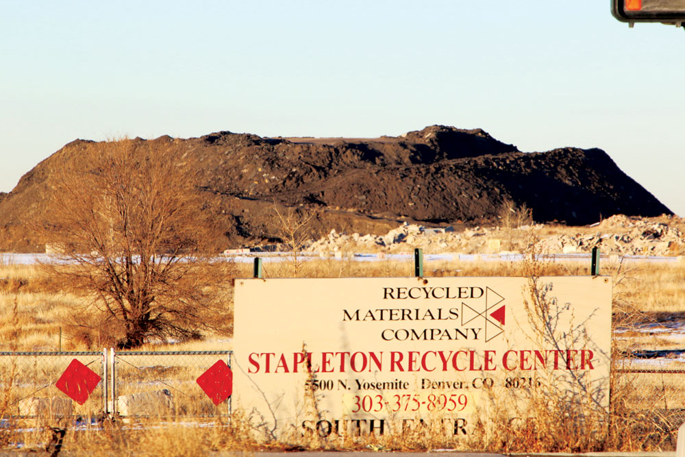
The farthest north part of Stapleton, north of 56th, has faced uncertainties in its construction schedule due to the huge mounds of recycled asphalt and concrete pulled from the old airport and stored there. The market for these recycled products didn’t pan out as expected and the company was unable to meet its obligation to clear the piles as scheduled—but a plan is in place and the material is gradually being removed.
However, another complication is now being addressed. The one square mile of land north of 56th and adjoining the Rocky Mountain Arsenal National Wildlife Refuge (referred to as Section 10) was deeded to the Stapleton airport in 1969 by the U.S. Government with the understanding that it would be used for airport purposes. The terms of the land transfer specified that if the land was not used by the airport, it would revert back to the U.S. Army. The position of the U.S. Fish and Wildlife Service and the U.S. Army is that not all the 640 acres in Section 10 that were deeded in 1969 were put to airport use. DIA disagrees with that. The FAA has jurisdiction over the property and will make the final determination.
All property south of 56th and the center portion of Section 10 has been cleared by FAA for future acquisition and development, but two parcels are still being reviewed: a small parcel in the northwest quadrant and east from where the railroad tracks were to Havana St.
Over a year ago Forest City submitted a General Development Plan (GDP) for Section 10. That process took months and included modifications based on feedback from the community and Rocky Mountain Arsenal. Forest City then addressed comments and modifications requested by the City. Finally, a public meeting and public comment period allowed a last opportunity for community feedback before the plan was approved. The GDP establishes the broad plan for major types of land use: drainage, parks, street grid and residential and commercial development.
Despite complications, Tom Gleason of Forest City says they expect to begin infrastructure development in Section 10 later this year.

0 Comments