


Colorado Collaboration – Craft Brew & Food Pairing Experience Hosted in the Elegant State Room at Buffalo Rose
May 15 @ 5:30 pm
$60.00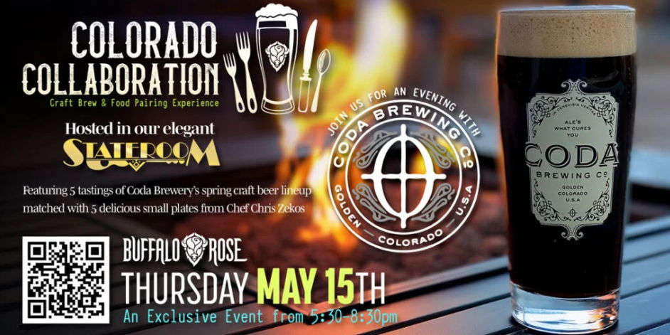
What happens when you combine delicious plates of gourmet food with the very best craft beers that Colorado has to offer, all served up in a beautiful private room in one of Golden’s most iconic venues?
You get Colorado Collaboration!
Please join us upstairs in the State Room at Buffalo Rose for a relaxing and informative evening where we creatively pair up some of the finest food in Colorado with the very best beers produced by Coda Brewing, multiple medal winner at the Great American Beer Festival.
Each guest receives a welcome Coda beer upon arrival. Once the program starts, you will be treated to five (5) taster-sized expressions of Coda’s custom brewed Spring line-up craft beers lovingly accompanied by a delicious array of small-plates created by Executive Chef Chris Zekos and the Buffalo Rose’s culinary team.
This is an unforgettable experience for both seasoned beer connoisseurs and those that simply enjoy excellent beer and delicious food. Owner and master brewer, Luke Smith will school you in the art of craft brewing as Chef Chris guides you through a tantalizing selection of perfectly paired gourmet bites. Savor the rich flavors and aromas as you learn how each beer profile complements its companion dish.
Ticket pricing includes a welcome beer, four (4) beer-tasters (approximately 6 ounces each) and food pairings plus a delicious paired dessert finisher along with short but informative presentations by Coda Brewery and the Buffalo Rose. Sales tax and gratuity is included in the ticket price.
Impress a date, bring a friend or come down solo, but be sure to reserve your spot now and raise a glass to great flavors, phenomenal surroundings and interesting company!
Timeline:
5:30 doors to the State Room opens
5:30-6:30 welcome beer and Happy Hour socializing
6:30-8:30 food-craft beer pairing program